| 1 | 2 | 3 | 4 | 5 | 6 | 7 | 8 | 9 | 10 | >> |
Bicycle Tour Adventure #10
Pictures and Stories About Bicycle Tour Adventures
Hagerman Pass near Leadville, Colorado, USA,
By Bicycle, July, 2003
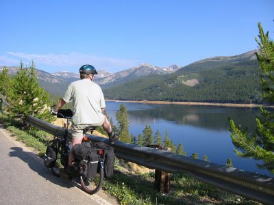
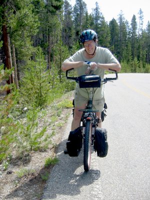
Above Right: We camped at a National Forest camp site on Turquoise Lake and took our bikes to head for Hagerman Pass. This shot is probably from our first rest break. The elevation starts at around 10,000 Feet and the air is already thin.
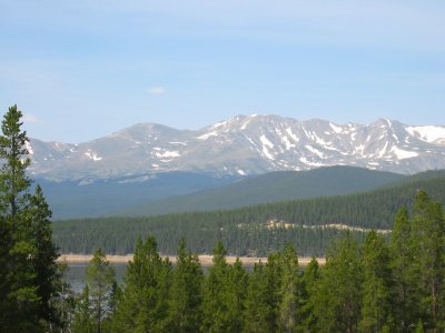
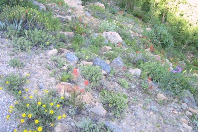
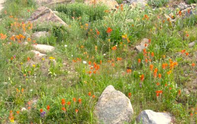
Above Right: We stopped to catch our breath, then notice a plethora of wild flowers in bloom. Pictured are Yellow Daisies, Indian Paint Brush (red), Sage (tiny yellow), and Mountain Lupine (pale yellow). We are familiar with flower and plant names because of our involvement with the Boy Scouts. We don’t know them all but we are always learning (or in some cases, relearning). One of Dennis’ favorite quips is "I used to know that once."
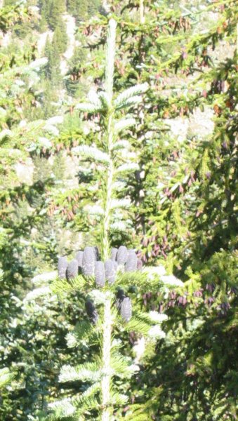
Above Right: This picture is of the evergreen cones. They are growing straight up and are a dull blue-black color and this is new kind of tree to us. Pictured is the tree top, at our eye level, as the tree is growing on the downhill side of the road.
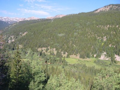
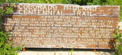
Above Right: We discover that we are on an old rail road track bed, which explains the perfect road slope. The railroad (and the gentle slope) goes into and through a mountain tunnel at this point, however we are not allowed into the tunnel as it is sealed. We get to go up the old road. The old road turns into an uneven double track with lots of loose rocks and it is steeper. Later we will discover, near the top, that traction is so difficult, because the wheels are slipping, that we have to push our bikes for about half a mile.
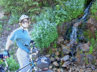
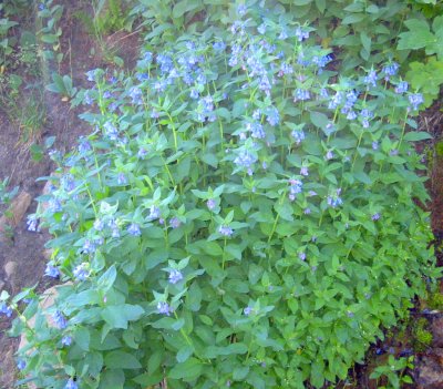
Above Right: Alpine shrub with blue flowers (also in previous picture).
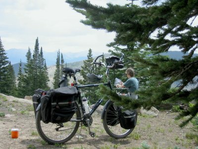
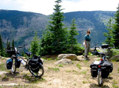
Above Right: Terry, preparing lunch. Dennis’ bike. The orange container is Gator Aide powder. Dennis thinks that the view is great!
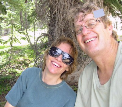
Above Right: Two old friends (and old married folks) fooling around with the camera. It is actually difficult to take a picture of yourself but we got lucky this time. You can actually see Dennis’ hand and camera reflected in Terry’s glass lens. The thing on Dennis’ glasses is a rear view mirror.